
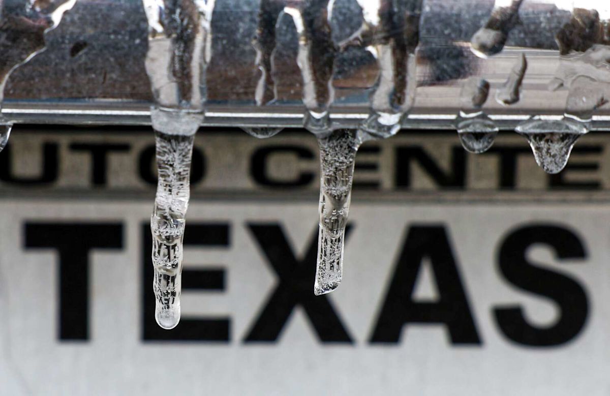
A rapidly intensifying El Niño climate pattern is gaining strength in the tropical Pacific, with atmospheric and oceanic indicators suggesting that the system could soon cross into historic territory. As the phenomenon matures heading into the late fall and winter months, weather patterns across the southern United States are poised to undergo a profound shift. For South Texas, the approaching event signals a transition toward colder temperatures, heightened precipitation, and an increased likelihood of winter weather hazards such as ice and snow.
El Niño is defined by the appearance of unusually warm sea-surface temperatures along the equator across the eastern Pacific Ocean. Because the Pacific represents the world's largest ocean basin, significant thermal anomalies there alter the global atmospheric circulation. The resulting disruptions affect weather systems worldwide, fundamentally altering climate conditions for billions of people, including residents throughout the state of Texas.
Recent data released by the National Oceanic and Atmospheric Administration confirms that ocean temperatures in this critical equatorial zone have reached 2 degrees Celsius above long-term averages. This benchmark represents NOAA’s official threshold for classifying an El Niño event as "very strong." In meteorological circles, reaching this thermal threshold also confers the unofficial classification of a "super" El Niño.
The emergence of a super El Niño is an exceptionally rare occurrence in modern meteorological history. According to historical tracking, ocean temperatures have met or exceeded this extreme threshold only three other times since 1950. The current event's rapid intensification places it among the most formidable climate anomalies observed in more than seven decades of standard record-keeping.
Current projections indicate that the climate pattern will continue to gather strength in the coming months. Meteorologists anticipate that it could become the strongest El Niño on record by November or December. Very strong atmospheric conditions are expected to persist across the region through February, before the intense oceanic circulation pattern finally begins to weaken with the arrival of spring.
The primary mechanism driving changes across North America during an El Niño event is the reorganization of the jet stream. The warming equatorial waters typically cause the Pacific jet stream to shift farther to the south. This displacement establishes a highly active storm track and drives more frequent cold fronts across the southern United States, consistently delivering below-average temperatures and elevated moisture levels to Texas.
In addition to shifting the Pacific jet stream, El Niño conditions cause a southward displacement of the polar jet stream. During the winter months, this polar flow interacts directly with moisture-rich air originating from the Gulf of Mexico. The convergence of these distinct air masses over Texas sets the stage for prolonged bouts of cold, damp weather and significantly increases the regional chances of accumulating snow and ice.
To understand precisely when South-Central Texas will begin experiencing these pronounced weather changes, meteorologists examined local historical records from San Antonio dating back to 1950. By analyzing temperature and rainfall data from every El Niño event over the past several decades, clear monthly trends have emerged detailing when the cooling and precipitation increases typically begin.
Despite the current strength of the El Niño pattern, the historical record indicates that South Texas does not experience immediate cooling during the month of September. In fact, average September temperatures in San Antonio during past El Niño years were actually 0.2 degrees warmer than normal. Residents hoping for an early arrival of autumn temperatures due to the tropical Pacific warming will not find relief in the early weeks of the season.
The arrival of October continues to show minimal influence on regional temperatures. Historical data reveals that average October temperatures in San Antonio during El Niño events are only 0.1 degree cooler than in non-El Niño years. This fraction of a degree makes the temperature difference essentially negligible, meaning that South-Central Texas rarely experiences unseasonable cold during the middle of fall.
While October does not bring a noticeable drop in mercury, it serves as the definitive starting point for dramatic increases in precipitation. Historical records demonstrate that San Antonio averages 4.48 inches of rainfall during Octobers influenced by an active El Niño. This represents a substantial 69 percent surge in rainfall when compared directly to Octobers occurring in non-El Niño years.
The true shift toward significantly colder weather typically arrives in November. Across all recorded El Niño events since 1950, average November temperatures in San Antonio have plummeted by 2.2 degrees compared to years without the climate pattern. This substantial temperature drop marks the beginning of the true winter cooling phase across the region.
November's 2.2-degree cooling trend is particularly noteworthy because it represents the single largest temperature deviation for any month of the year in the historical San Antonio dataset. The arrival of November effectively opens the door to the colder atmospheric regime governed by the displaced jet streams and increased frontal passages.
As the current El Niño continues its record-setting intensification through the remainder of the year, historical patterns suggest that South Texas will face an increasingly wet mid-autumn followed by an extended period of below-normal temperatures. With strong conditions projected to dominate through February, the region is preparing for a distinctly active, damp, and chilly winter season.




(0)